Story Maps

Empowering Tomorrow: Solar Suitability Analysis
This project presents a detailed GIS-based solar suitability analysis aimed at promoting sustainable energy solutions for the future. By leveraging advanced spatial analysis techniques, we identify and evaluate optimal locations for solar energy harvesting based on key factors such as solar radiation, land use, slope, aspect, and environmental constraints. The study integrates diverse geospatial datasets to create a high-resolution suitability map that supports informed decision-making for solar infrastructure development. Our findings not only highlight prime areas for solar panel installations but also contribute to broader sustainability goals by encouraging efficient land use, reducing carbon footprints, and empowering communities through renewable energy adoption.
View Story Map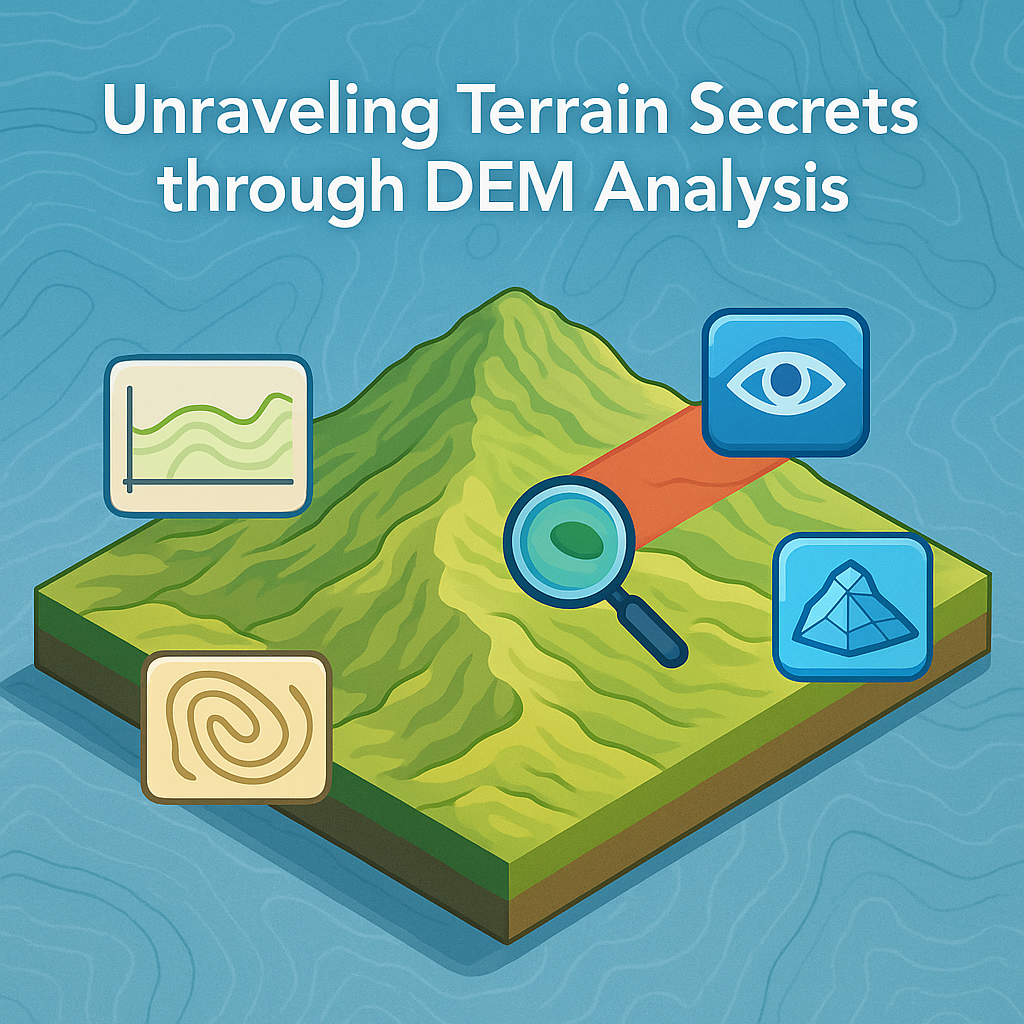
Unraveling Terrain Secrets through DEM Analysis
This project presents a comprehensive exploration of terrain analysis using Digital Elevation Models (DEMs) within ArcGIS Pro. Through techniques such as cross-section profiling, contour generation, point and line inspection, region statistics, intervisibility studies, and visibility analysis, the project demonstrates how DEMs can be leveraged to produce meaningful geospatial outputs. These analyses help in understanding land surface characteristics, sightlines, elevation trends, and surface visibility, culminating in powerful 3D visualizations. The project emphasizes the importance of terrain modeling in applications like infrastructure development, environmental assessment, military planning, and telecommunications.
View Story Map
Detecting Seal Pups by leveraging Machine Learning
This project uses machine learning algorithms integrated with ArcGIS Pro to automatically detect and monitor seal pups in aerial imagery. The system applies deep learning techniques to distinguish seal pups from surrounding features with high accuracy, enabling more efficient wildlife monitoring while reducing field survey costs and minimizing disturbance to sensitive habitats. The solution includes automated image processing, spatial pattern analysis, and interactive visualization dashboards for conservation management.
View Story Map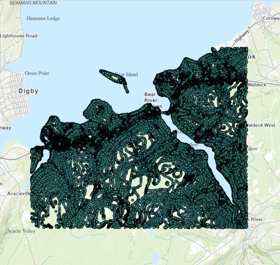
Points to Peaks: Crafting a Digital Elevation Model from CSV
A Step-by-Step Guide on Transforming CSV Spatial Points into Digital Elevation Mastery (DEM)
View Story Map